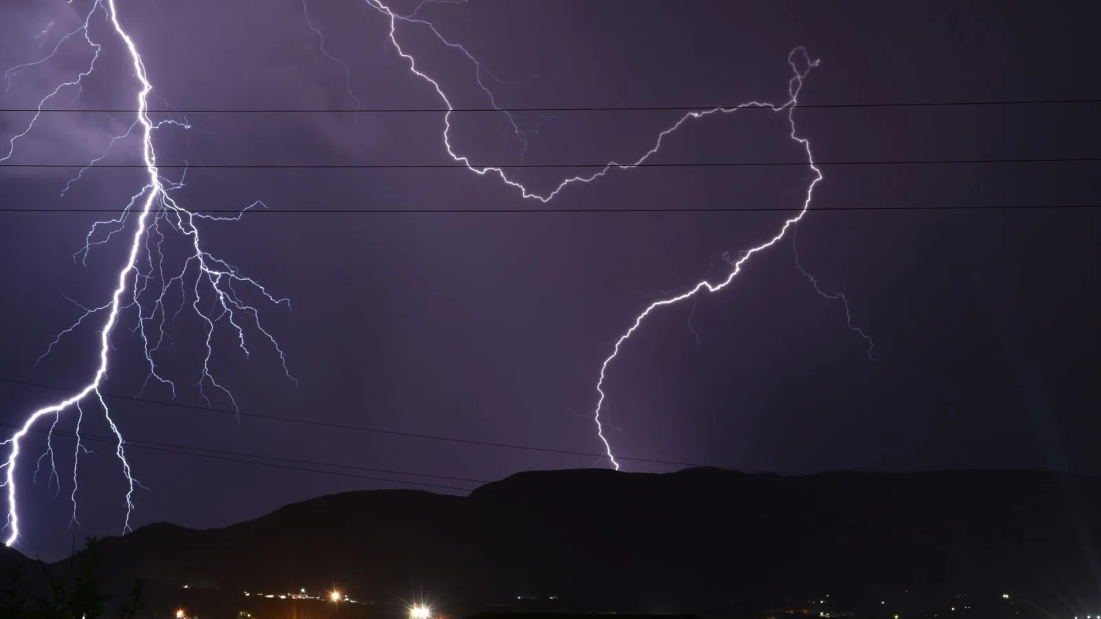
Parts of the UK faced continued disruption on Wednesday as a Met Office yellow warning for thunderstorms remained in force, bringing the risk of flash flooding, large hail and lightning to large areas of England and Wales.
The warning, valid until 22:00 BST, was amended on Wednesday morning to cover northern and eastern Wales, north-west England, the Midlands, and parts of eastern and southern England. Forecasters said the rain could be heavy enough to cause flash flooding and travel disruption, with lightning and large hail posing additional hazards.
A second yellow warning has also been issued for Thursday, when further thunderstorms are expected to affect mostly England and Wales, running from 06:00 to 22:00 BST.
According to the Met Office, sunny spells were expected to develop across the warning area on Wednesday following early cloud and rain, but scattered thundery downpours were forecast to spring up during the afternoon. As much as 20-30mm of rain could fall in some locations within just an hour, with the possibility of 40-50mm accumulating over a few hours in the wettest spots.
Because of the scattered nature of the showers, some areas are expected to miss the rain entirely, meaning weather apps may struggle to accurately predict conditions in specific locations. Flash flooding is a particular concern where the ground has hardened after a prolonged dry spell, making it harder for water to soak away. Difficult driving conditions are expected, with the possibility that some roads could be closed.
Northern Ireland is also expected to see showers on Wednesday, though these are likely to be less intense and produce less thunder. Much of Scotland is forecast to stay dry with sunny spells, although showers are possible in the south-west later in the day.
For Thursday, the Met Office has warned of widespread rainfall totals of 20-30mm within three hours across the warning area, with some places potentially seeing 50mm in the same timeframe. There is a small chance that eastern-facing hills exposed to easterly winds could record 75mm over 12 hours, which would bring a significant flood risk. Gusty winds may also accompany the storms, particularly across southern England on Thursday morning.
Hailstones of 1-2cm could accompany Thursday's downpours, alongside further thunder and lightning. The showers may eventually reach southern Scotland and Northern Ireland, but are expected to weaken as they move northwards.
The forecast comes after a notably dry spell for parts of southern England. Brize Norton in Oxfordshire has recorded just 0.4mm of rain so far in August, less than one per cent of what would normally be expected for the month. Kew Gardens saw no rain at all in July and only 1.8mm so far this month, meaning the rain expected this week is likely to far exceed recent totals in some areas.
Forecasters have cautioned that the localised nature of thunderstorms means some places could see flooding downpours while other areas just a few miles away stay largely dry, a pattern that can cause difficulties for weather apps, including the BBC Weather app.
The conditions are being driven by warm, humid air across the UK interacting with a pocket of colder air pushing in from the west higher in the atmosphere. However, forecasters have noted that computer weather models will always struggle to pinpoint exactly where and when the most intense storms will develop, comparing the process to heating popcorn kernels in a pan, where it is impossible to know in advance which kernels will pop, in what order, or whether some will not pop at all.
Some storms are also expected to occur overnight, meaning they may not always be reflected in daily weather icons. Members of the public making outdoor plans have been advised to check hourly weather symbols and percentage chances of rain for the most accurate picture.